Service areas
Drive time radius map for the UK
See how far you can drive in 15, 30 or 60 minutes from any UK or Irish address, on real roads. Free, no sign up.
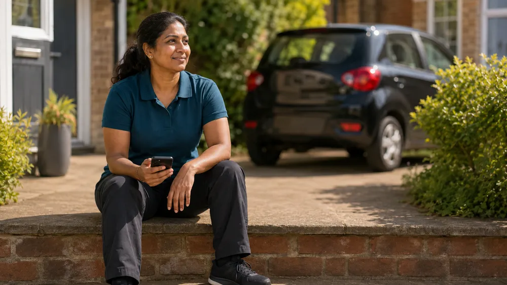
Drive times on UK roads
The map is built from OpenStreetMap road data for Great Britain, Northern Ireland and Ireland, with speeds calibrated against real UK journeys and slower times in Greater London. Motorways, A roads, B roads, minor roads and one way streets all count.
Who uses a drive time radius map
Mobile professionals use it to set a service area and travel fees, check whether a new customer is worth the trip, and choose where to live or open a base. Businesses with a shop or clinic use it to see which towns are within a short drive of their door.
Drive time or mile radius?
A 10 mile radius circle around Manchester and one around a village in the Highlands cover the same area on paper, but not the same journeys. In a city 10 miles can take 40 minutes; on an empty A road it takes 12. A drive time map shows the time it really takes, so a service area, a delivery zone or a travel fee band is fair to you and to your customers.
Rings, area and sharing
- Up to three rings, each from 5 to 120 minutes.
- The area of each ring in km² and square miles.
- A link that opens the same map, an embed code for your website, and image and GeoJSON downloads.
Questions
- Does the map cover all of the UK? Yes: England, Scotland, Wales and Northern Ireland, plus the Republic of Ireland.
- Does it include live traffic? No. Times use typical road speeds, so allow extra time at rush hour.
- Is it free? Yes. There is no sign up and no limit for normal use.